Shandong Fengtu IOT Technology Co., Ltd
Sales Manager:Ms. Emily Wang
Cel,Whatsapp,Wechat:+86 15898932201
Email:info@fengtutec.com
Add:No. 155 Optoelectronic Industry Accelerator, Gaoxin District, Weifang, Shandong, China


Sales Manager:Ms. Emily Wang
Cel,Whatsapp,Wechat:+86 15898932201
Email:info@fengtutec.com
Add:No. 155 Optoelectronic Industry Accelerator, Gaoxin District, Weifang, Shandong, China
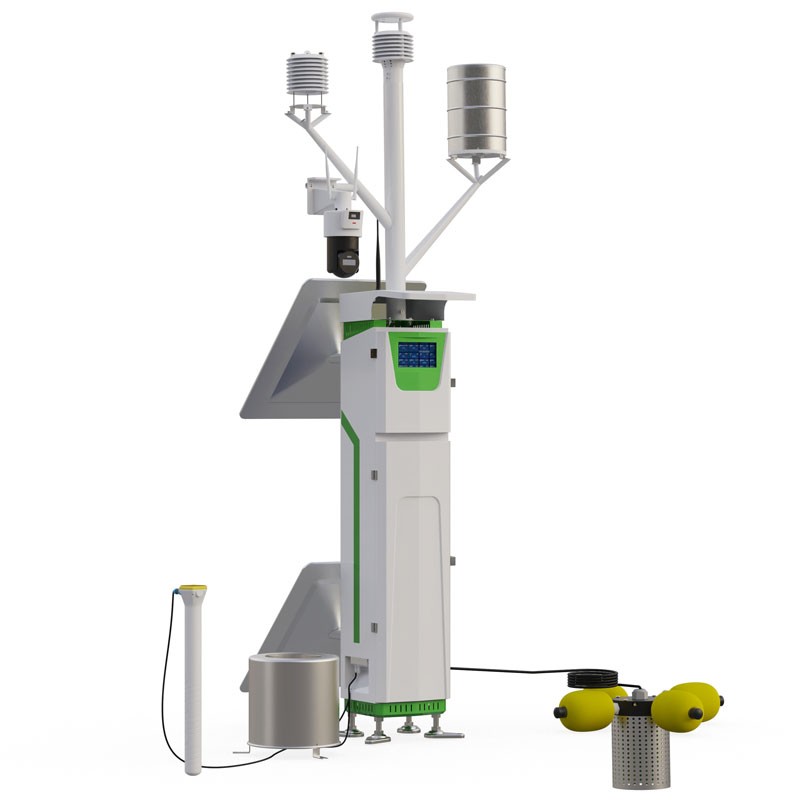
Model:FT-QH20
Brand:fengtu
1、Meteorological, Soil and Water Environmental Monitoring Station Product Introduction
Meteorological, Soil and Water Environmental Monitoring Station is a highly integrated environmental monitoring system that integrates meteorological, soil, and water quality data. The system integrates data acquisition, storage, and transmission, and is developed and manufactured according to international WMO meteorological standards. It can simultaneously monitor ultrasonic wind speed, wind direction, air temperature, air humidity, atmospheric pressure, rainfall, sunlight, carbon dioxide, PM2.5, PM10, noise, three-layer pipe soil temperature, soil moisture, soil conductivity, and soil evaporation; and water quality parameters such as pH, water temperature, water conductivity, turbidity, and dissolved oxygen.
Meteorological, Soil and Water Environmental Monitoring Station consists of three parts: monitoring sensors, a data acquisition unit, and an environmental monitoring cloud server. The system adopts a modular design, allowing for flexible addition or removal of modules and sensors according to user needs. The system has a built-in large-capacity FLASH storage chip that can store more than one year's worth of meteorological data. It is equipped with a Chinese character LCD screen for real-time observation of current meteorological information. When connected to a computer, data can be viewed item by item and exported to Excel for editing.
2、Meteorological, Soil and Water Environmental Monitoring Station Product Advantages
Advanced technology, high measurement accuracy
Large data capacity, long storage time
Long telemetry distance, stable communication
User-friendly interface, easy operation
High reliability, low maintenance cost
3、Meteorological, Soil and Water Environmental Monitoring Station Product Positioning
Meteorological, Soil and Water Environmental Monitoring Station supports wireless transmission, requires no debugging, can be quickly deployed, and is widely used in the following fields:
Meteorological, agricultural, forestry, and marine environmental monitoring
Airports, ports, and transportation
Geological exploration and university research
4、Meteorological, Soil and Water Environmental Monitoring Station Features and Functions
Low-power data logger: Power consumption less than 50mA
GPRS connectivity: Supports 4G across three networks
Supports expanded sensors
7-inch LCD screen display
Supports data storage
Expandable USB flash drive data export
Supports Modbus-RTU-RS485 sensor expansion
Solar charging management: MPPT automatic power point tracking
Equipped with 100W/40Ah solar power supply
Supports IoT data display, storage, and analysis platform
Platform supports multiple protocol data forwarding, including HJ-212, TCP short connections, and HTTP.
5、Meteorological, Soil and Water Environmental Monitoring Station Technical parameters
| Sensor | Measurement Range | Resolution | Accuracy |
| Meteorological sensors | |||
| Temperature | -40~80℃ | 0.01℃ | ±0.3℃ (25℃) |
| Humidity | 0~100%RH | 0.01%RH | ±3%RH (20%~80%) |
| Atmospheric pressure | 30-110Kpa | 0.01Kpa | ±0.25% |
| Wind speed | 0~60m/s | 0.01m/s | ±0.1m/s+0.01V |
| Wind direction | 0~360° | 1° | ±2° |
| Rainfall | Maximum 8mm/min | 0.2mm | ≤±2% |
| Lighting | 0~157286Lux | 1Lux | ±3% |
| Noise | 30~120dB | 0.1dB | ±1.5dB |
| PM2.5 | 0~1000μg/m³ | 1μg/m³ | ±10% (<500 µg) |
| PM10 | 0~1000μg/m³ | 1μg/m³ | ±10% (<500 µg) |
| CO2 | 400~5000ppm | 1ppm | ±(50ppm+5% of reading) |
| Soil sensors | |||
| Soil temperature | -30~70℃ | 0.01℃ | ±0.3 (-10~50℃) |
| Soil moisture | 0~100% | 0.01% | ±3% |
| Conductivity | 0~20000μs/cm | 1μs/cm | ±3% (15°C, 0~10000 us/cm) ±5% (full scale) |
| Soil evaporation | 0~40000000mm | 0.01mm | ≤±2% |
| Water quality sensors | |||
| Water quality temperature | -20~85℃ | 0.1℃ | ±0.1℃ |
| Water pH | 0~14.00 | 0.01 | ±0.1 pH, ±0.1 °C |
| Water turbidity | 0~1000NTU (default) | 0.1NTU | ±1%, ±0.3℃ |
| Water quality dissolved oxygen | 0~20mg/L | 0.01mg/L | ±2%, ±0.3℃ |
The price of solar insecticidal lamps varies considerably depending on the type, power, and functions. Basic models range from approximately 100 to 400 yuan, while specialized agricultural equipment typically ranges from 800 to 2800 yuan. For example, in the FT series, the FT-FD1 is priced at...
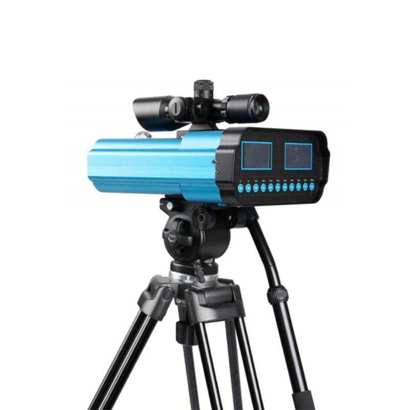
The system consists of a tubular soil moisture monitor, pest monitoring lamps, a weather station, video surveillance, and a spore trapping device. It uploads soil, weather, pest, and seedling growth images to a cloud platform via a 4G network, enabling real-time dynamic monitoring and online d...
Meteorological emergency monitoring is an action that utilizes professional equipment and technologies to collect meteorological data in real-time and dynamically in response to sudden meteorological disasters or abnormal meteorological conditions. Through the rapid monitoring and analysis of meteor...
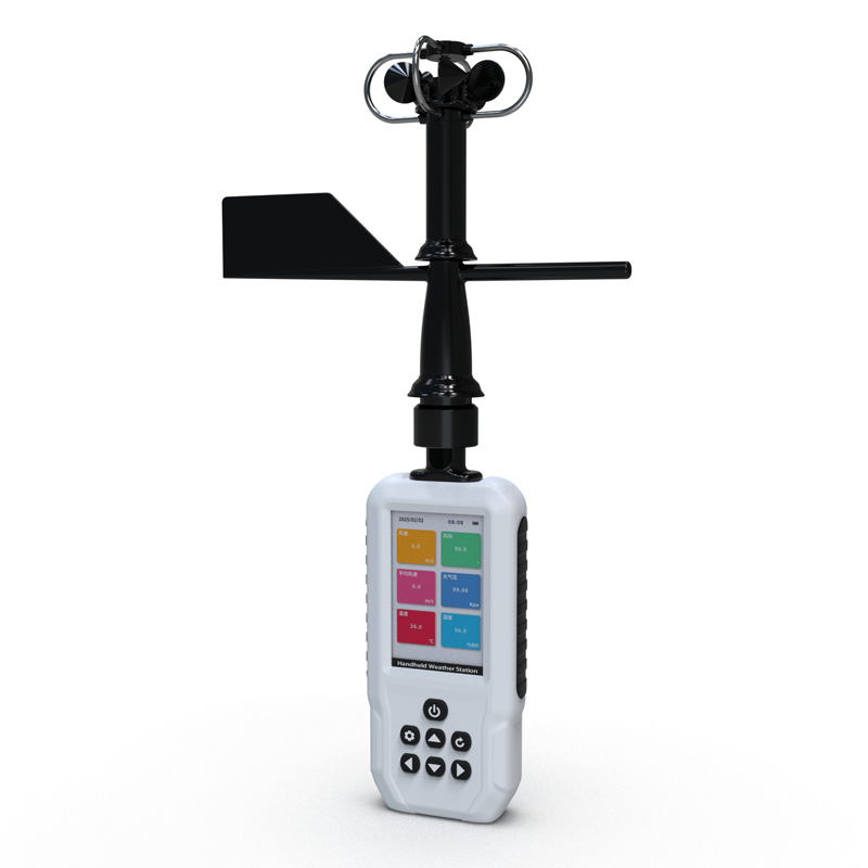
Agrometeorological Instruments is an integrated handheld monitoring terminal equipped with industrial-grade sensors. It can simultaneously collect multiple parameters such as air temperature and humidity, soil moisture, and light intensity. It features built-in storage and transmission capabil...


 Get a Free Quote
 Skype
Skype
 whatsapp
 mail
mail