Shandong Fengtu IOT Technology Co., Ltd
Sales Manager:Ms. Emily Wang
Cel,Whatsapp,Wechat:+86 15898932201
Email:info@fengtutec.com
Add:No. 155 Optoelectronic Industry Accelerator, Gaoxin District, Weifang, Shandong, China


Sales Manager:Ms. Emily Wang
Cel,Whatsapp,Wechat:+86 15898932201
Email:info@fengtutec.com
Add:No. 155 Optoelectronic Industry Accelerator, Gaoxin District, Weifang, Shandong, China
time:2025-05-23 08:57:01 source:Weather Station viewed:505 time
Agricultural conditions refer to various situations presented by crops during their growth and development, encompassing multiple aspects such as soil fertility and moisture content of cultivated land, seedling conditions, growth trends, pest and disease situations of crops, as well as agricultural meteorological data, etc. Traditional observation mainly relies on manual field surveys. Staff members carry measuring tools, regularly visit farmland, and record information such as crop plant height, leaf color, pest and disease symptoms, as well as soil moisture and nutrient content through visual observation, manual touch, and instrument detection. These data are then summarized and analyzed to provide a reference for agricultural production.
With the acceleration of agricultural modernization, problems such as low efficiency, inaccurate data, and poor real-time performance of traditional observation methods have gradually become prominent. Therefore, many farmlands have started to use Agricultural Monitoring Systems.
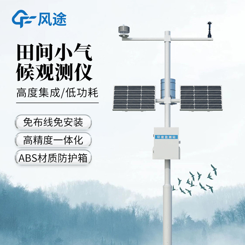
An Agricultural Monitoring System is a set of agricultural equipment integrating multiple monitoring functions. It uses sensor technology to collect key information in agricultural production in real time. In the monitoring station, soil sensors penetrate different depths of field soil to accurately measure soil moisture, temperature, pH value, and nutrient content, providing detailed data for understanding soil conditions. Meteorological sensors can real-time monitor meteorological elements such as air temperature, humidity, wind speed, wind direction, and light intensity.
For the monitoring of crops themselves, the monitoring station is equipped with high-resolution cameras. The cameras can take regular images of crops, allowing staff to remotely observe the growth trends and appearance changes of crops through the images, and promptly detect abnormal phenomena in leaves caused by diseases and pests.
The monitoring station has a data transmission function, which sends various collected data to the agricultural data platform through wired or wireless networks. The platform uses big data analysis and model algorithms to deeply process agricultural condition data, generate intuitive charts and analysis reports, and provide precise production suggestions for agricultural decision-makers, such as irrigation time, fertilization amount, and pest control timing. This helps improve the scientificity and accuracy of agricultural production and promotes the development of agriculture towards efficiency and intelligence.
In the pest control work of parks, farmlands, orchards and other places, the Air Suction Insecticide Lamp, a green and environmentally friendly device that combines solar power supply and physical prevention and control technologies, is becoming increasingly prominent. Its core principle is to effic...
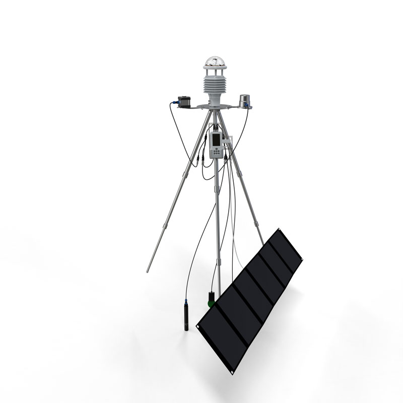
Crop Growth Monitoring utilizes high-definition video cameras to provide real-time monitoring of crop growth and development, supporting both daytime visual imaging and nighttime infrared imaging. The device integrates meteorological sensors, soil moisture sensors, and pest forecasting lamps t...
If you are looking for a great - functioning Cellular Weather Station, Fengtu's products are really worth a look. Their ten - element Cellular Weather Station is an all - rounder, capable of measuring wind speed, wind direction, temperature, humidity, air pressure, sunlight, rainfall, PM2.5, PM1...
In the era when smart agriculture is booming, technologies such as the Internet, big data, and artificial intelligence are deeply integrated into agricultural production, greatly enhancing the efficiency of the allocation and utilization of production factors. Fengtu IoT, relying on the concepts of...


 Skype
Skype
 whatsapp
 mail
mail