Shandong Fengtu IOT Technology Co., Ltd
Sales Manager:Ms. Emily Wang
Cel,Whatsapp,Wechat:+86 15898932201
Email:info@fengtutec.com
Add:No. 155 Optoelectronic Industry Accelerator, Gaoxin District, Weifang, Shandong, China


Sales Manager:Ms. Emily Wang
Cel,Whatsapp,Wechat:+86 15898932201
Email:info@fengtutec.com
Add:No. 155 Optoelectronic Industry Accelerator, Gaoxin District, Weifang, Shandong, China
Model:FT-DZ1
Brand:fengtu
1.Geological disaster monitoring background
Geological disasters are caused by catastrophic damage to the geological environment by natural and man-made geological actions, mainly including collapse, landslides, debris flows, ground subsidence and ground fissures. my country's geological disasters are complex and diverse, with frequent disasters. It is one of the countries with the most serious geological disasters in the world. In recent years, research on landslides and debris flows has been the focus of industry research. In order to enhance the awareness of disaster prevention and reduction in the whole society, reduce casualties, maintain social stability and normal production and living order, improve people's quality of life, promote the comprehensive development of economic construction and various social undertakings in areas with serious geological disasters, and enable the people to live and work in peace and contentment, it has become an urgent task to do a good job in geological disaster warning and forecasting.
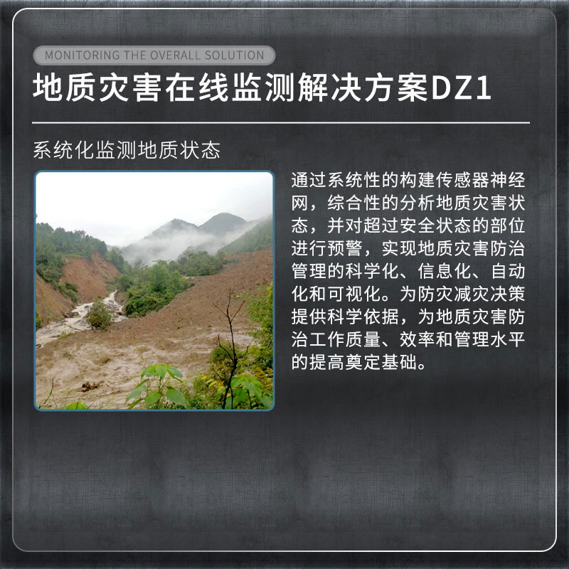
2. Overview of Geological Disaster Monitoring System
As a pioneer in industry monitoring, our company is the first to combine structural health monitoring with the Internet of Things, cloud computing and other technologies. By systematically building a sensor neural network, we comprehensively analyze the state of geological disasters and issue early warnings for parts that exceed the safe state, thus achieving scientific, information-based, automated and visualized management of geological disaster prevention and control. This provides a scientific basis for disaster prevention and mitigation decision-making and lays the foundation for improving the quality, efficiency and management level of geological disaster prevention and control work.
3. List of Geological disaster monitoring projects
| Monitoring items | Device Name |
| Surface displacement monitoring | Integrated GNSS monitoring system |
| Crack monitoring | Integrated surface displacement monitoring system |
| Deep displacement monitoring | Integrated deep displacement monitoring system |
| Groundwater level monitoring | Integrated pore water pressure monitoring system |
| Soil moisture content | Integrated soil temperature and humidity monitoring system |
| Rainfall | Integrated rainfall monitoring system |
| Video surveillance | Integrated video surveillance system |
| Mud level | Mud level monitor |
4. Geological disaster monitoring basis
Technical Specifications for Geological Hazard Monitoring DB11∕T 1677-2019
Specifications for Construction Safety Monitoring of Geological Hazard Control Projects T∕CAGHP 044-2018
《Specifications for monitoring collapse, landslide and debris flow DZ/T0221-2006》
Technical Specifications for Groundwater Environmental Monitoring HJ/T164-2004
Geological Hazard Prevention Engineering Investigation Specification DB50∕143-2003
5. Geological disaster monitoring functions
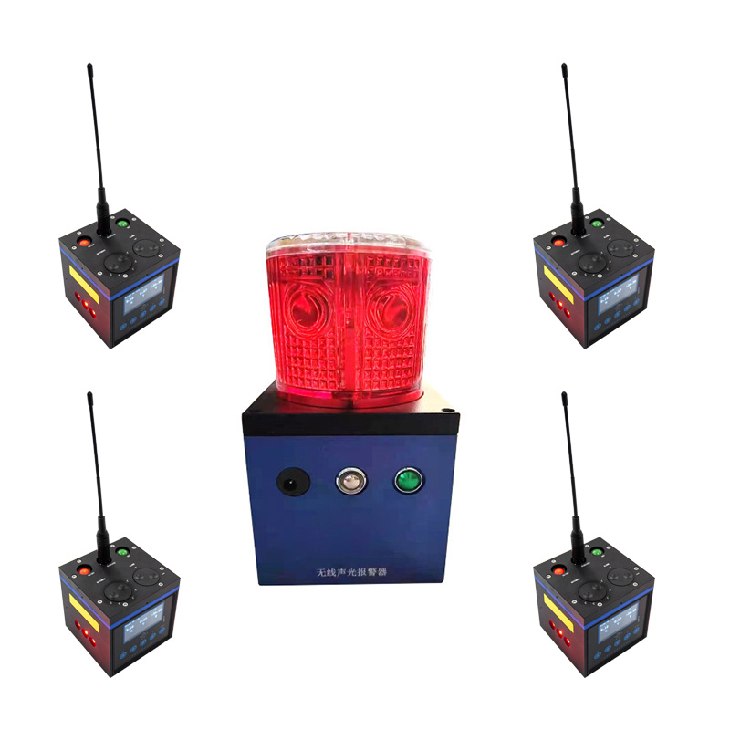
1. Through the automated monitoring platform, the management unit can realize geological information security monitoring and process management, which is no longer affected by the weather. Once an early warning occurs at any location on site, the on-site situation can be mastered through video monitoring. According to the early warning level, different alarm methods can be adopted. In conjunction with the relevant responsible units, emergency measures can be taken in a timely manner to evacuate the crowd and transfer in time to reduce the occurrence of accidents and disasters.
2. Implement a multi-level early warning and alarm mechanism from province to city to county to township, give emergency plans after early warning, and realize the integration of disaster monitoring, early warning, and response. Real-time long-term automated monitoring can prevent major landslides, mudslides and other geological disasters, reduce economic losses, and maintain social stability.
In the current era when the concepts of ecotourism and healthy living are widely spread, natural oxygen bars have become popular leisure destinations for people. As a key facility for measuring and maintaining the ecological quality of these areas, the Environmental Monitoring Station demonstrates t...
Adverse weather conditions pose a significant threat to the safe operation of expressways. Severe meteorological phenomena such as waterlogged road surfaces, blizzards with icing, dense fog and patchy fog, and sandstorms not only reduce atmospheric visibility but also alter road conditions. Statisti...
The automatic monitoring station of ambient air quality can conduct real-time online monitoring of pollution factors in the air, and can provide data feedback through a large screen or display data through the user data statistics port. The monitoring items include the four gases and two dusts inclu...
The Negative Oxygen Ion Monitoring System FT-FZ5 is equipped with a full - color display screen, bringing users a more convenient, intuitive data display and interactive experience.This full - color screen uses an LED backlight with a lifespan of up to 50,000 hours. It is not only environmentally fr...


 Get a Free Quote
 Skype
Skype
 whatsapp
 mail
mail