Shandong Fengtu IOT Technology Co., Ltd
Sales Manager:Ms. Emily Wang
Cel,Whatsapp,Wechat:+86 15898932201
Email:info@fengtutec.com
Add:No. 155 Optoelectronic Industry Accelerator, Gaoxin District, Weifang, Shandong, China


Sales Manager:Ms. Emily Wang
Cel,Whatsapp,Wechat:+86 15898932201
Email:info@fengtutec.com
Add:No. 155 Optoelectronic Industry Accelerator, Gaoxin District, Weifang, Shandong, China
time:2025-04-15 09:06:20 source:Weather Station viewed:645 time
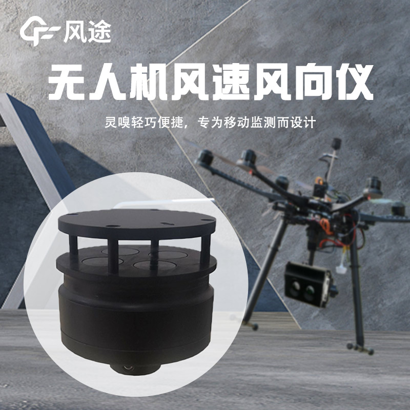
Drones are capable of accurately measuring wind, and the FT-F1 Anemometer for drones achieves this by utilizing the principle of ultrasonic resonance.
Specifically, the instrument emits two fixed-frequency ultrasonic waves in the direction of the wind. Due to the influence of the wind speed, there will be a time difference between the two ultrasonic waves, and the wind speed value can be calculated based on this time difference. At the same time, based on the Doppler effect, the time shift of the echo of the particles blown by the wind within the short flight range is counted, and the echo spectrum is analyzed to obtain the wind direction information.
In order to ensure the accuracy of the measurement, the FT-F1 has adopted a variety of measures in its design. It uses a low-power consumption chip and has functions such as electromagnetic interference resistance, water resistance, and dust resistance. It can operate normally in an environment with a temperature range from -40°C to +70°C and an altitude of 4000 meters, adapting to various complex environments. Its wind speed measurement range is 0 - 60m/s, with an accuracy of up to 3% and a resolution of 0.1m/s; the wind direction measurement range is 0 - 359°, with an accuracy of ±3° and a resolution of 1°. Moreover, it can be installed on the drone either by vertical installation on the top or by hanging installation at the bottom, minimizing the interference of the drone's fuselage on the air current to obtain more accurate wind speed and wind direction data.
All-in-One Weather Sensors are sensors that have gradually become popular in recent years.It has a high level of integration, which can be regarded as a major highlight. It integrates the monitoring functions of six key meteorological parameters, namely ambient temperature, relative humidity, wind s...
In traditional agriculture, farmers have long relied on the labor mode of "facing the loess and having their backs to the sky", understanding various situations in the fields through a hands-on approach. This way not only consumes a lot of physical strength and time but also has many limit...
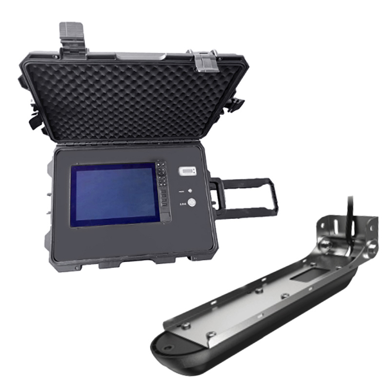
The development of Portable Weather Stations stems from the need for rapid, flexible, and temporary meteorological observations, applied in fields such as emergency disaster reduction, scientific expeditions, and military support to compensate for the shortcomings of fixed stations.Real-time meteoro...
The Beidou Weather Station is an independently developed automated meteorological monitoring device that integrates Beidou-3 short message communication with meteorological monitoring technology. It features autonomous operation, real-time transmission, and intelligent monitoring capabilities,...


 Skype
Skype
 whatsapp
 mail
mail