Shandong Fengtu IOT Technology Co., Ltd
Sales Manager:Ms. Emily Wang
Cel,Whatsapp,Wechat:+86 15898932201
Email:info@fengtutec.com
Add:No. 155 Optoelectronic Industry Accelerator, Gaoxin District, Weifang, Shandong, China


Sales Manager:Ms. Emily Wang
Cel,Whatsapp,Wechat:+86 15898932201
Email:info@fengtutec.com
Add:No. 155 Optoelectronic Industry Accelerator, Gaoxin District, Weifang, Shandong, China
time:2024-12-05 10:32:58 source:Weather Station viewed:601 time
Atmospheric visibility is an important indicator in meteorological observations, and there are diverse methods for its measurement. The traditional visual estimation method is rather straightforward. It relies on observers to visually observe the target object and determine the maximum distance at which it can be clearly seen. However, this approach is affected by the observer’s vision, experience, and weather conditions, leading to strong subjectivity and a lack of standardization.
The atmospheric transmissometer measurement method works by emitting a light beam that penetrates the atmospheric column and calculating the visibility based on the transmittance. But it has high demands for the stability of the light source and is prone to errors in low-visibility weather. Although the laser automatic visibility measuring instrument has high precision, it is costly, complex to operate, and limited in rainy and foggy days. The digital camera method, on the other hand, captures images with a video camera and conducts analysis and processing, yielding relatively reliable visibility values.
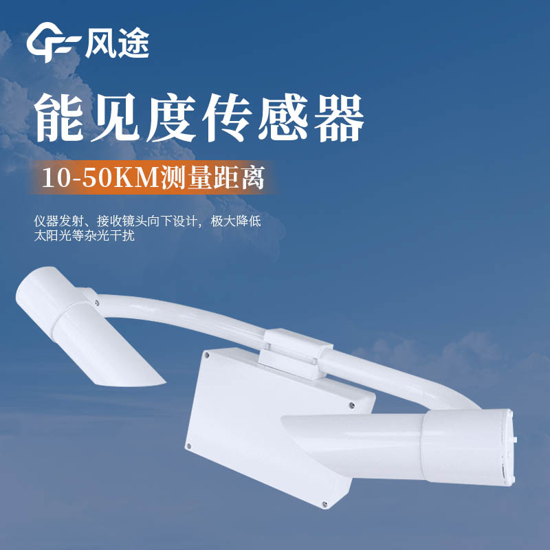
The Atmospheric Visibility Sensor is an instrument specifically designed to measure atmospheric visibility. It mainly consists of a light emitter, a light receiver, and a microprocessor controller. The light emitter emits infrared pulsed light or laser light. When this light encounters aerosol particles and the like in the atmosphere, it scatters. The light receiver then detects the intensity of the forward-scattered light, and the microprocessor controller uses a mathematical model to convert the information into meteorological optical range.
There are various types of this sensor. The scatter-type lidar visibility meter uses low-power laser, featuring high precision and being suitable for meteorological research and the aviation field. The scattered light visibility meter uses infrared light as the light source, has advantages in terms of structure and cost, and is commonly used in meteorological observations and the traffic field.
The Atmospheric Visibility Sensor has high precision and can work stably in all kinds of weather, reducing errors in manual observations. It has a high degree of automation, capable of automatic calibration, alarming, and data transmission. It also demonstrates strong adaptability, enabling effective monitoring whether the weather is fine or severe. Additionally, it is equipped with multiple data interfaces, facilitating data integration and sharing with other devices.
The Clairvoyance water and rain query system is based on the Internet of Things technology, and realizes the function of water resources monitoring and early warning through the processing and analysis of the data acquisition module. The system conducts comprehensive management and data analysis of...
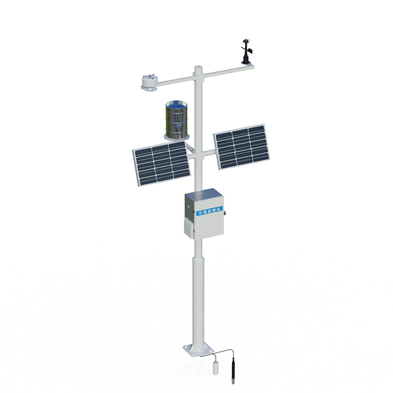
Agricultural Weather Station is a highly integrated, low-power, and rapidly deployable high-precision meteorological observation device designed specifically for farmland monitoring scenarios. Compliant with the requirements for high-standard farmland construction, the device comes bundled wit...
Agricultural Environment Monitoring System is a facility specifically designed for monitoring elements such as water, soil, and fertilizers in agricultural environments. It provides long-term dynamic monitoring of heavy metals, nutrient content, and pesticide residues, offering data support for agricultural environmental protection and remediation....
The Visibility Detector is mainly a forward-scattering visibility meter, which is an important instrument for measuring visibility.The transmitter and the receiver are kept at a certain distance and at a certain angle. The receiver only receives the forward-scattering light of the atmosphere. The tr...


 Skype
Skype
 whatsapp
 mail
mail