Shandong Fengtu IOT Technology Co., Ltd
Sales Manager:Ms. Emily Wang
Cel,Whatsapp,Wechat:+86 15898932201
Email:info@fengtutec.com
Add:No. 155 Optoelectronic Industry Accelerator, Gaoxin District, Weifang, Shandong, China


Sales Manager:Ms. Emily Wang
Cel,Whatsapp,Wechat:+86 15898932201
Email:info@fengtutec.com
Add:No. 155 Optoelectronic Industry Accelerator, Gaoxin District, Weifang, Shandong, China
time:2025-02-10 09:36:59 source:Weather Station viewed:558 time
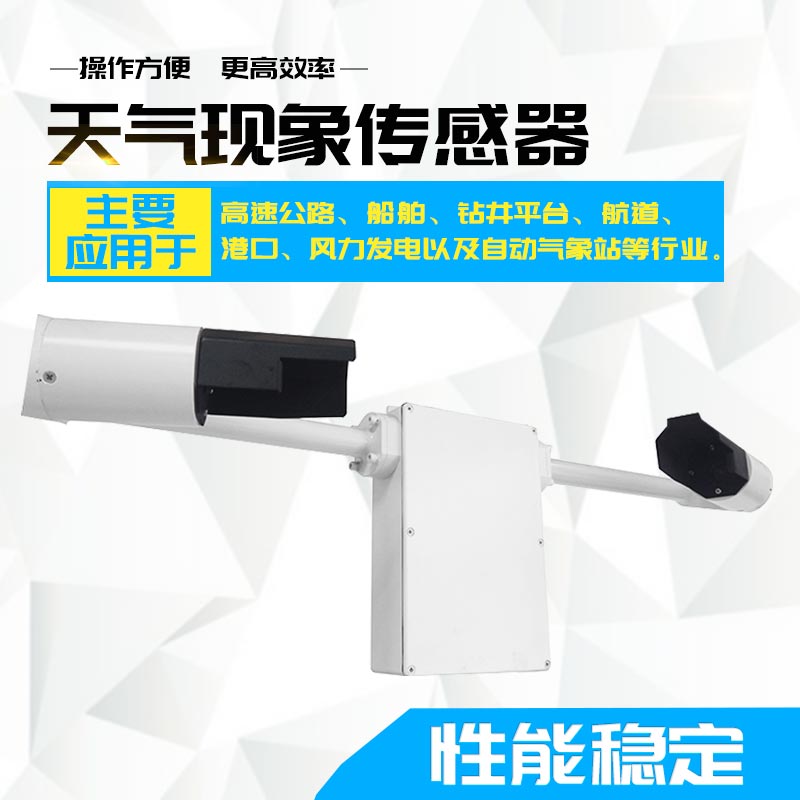
In the aviation field, weather conditions play a crucial role in the safe takeoff and landing of flights. The FT-N10 Present weather and visibility sensor adopts the 35° forward scattering principle. It uses an infrared LED light source to emit infrared light and determines the visibility distance by receiving the intensity of the scattered light. Its measurement range is 0 - 10000m, with strict error control. When the measurement value is ≤1KM, the error is ±2%, and when it is >1KM, the error is ±10%. The resolution reaches 1m, providing accurate visibility data for the aviation field, helping pilots and the control tower accurately judge the runway visual range and ensuring flight safety.
The optical component lens of the FT-N10 faces downward and is equipped with a protective cover, which can effectively prevent precipitation, droplets, or dust from entering the lens, reduce the contamination of the probe surface, and ensure stable operation in severe weather and complex environments, continuously outputting accurate data.
The overvoltage and electromagnetic protection devices inside the instrument, the reverse connection prevention and self - restoring fuse design of the DC power supply circuit, as well as the anti - interference design of the internal circuit, etc., ensure the long - term safe and stable operation of the sensor.
The FT-N10 has good environmental adaptability. Its operating ambient temperature ranges from - 40℃ to 60℃, and the operating relative humidity is not more than 95% (at 30℃), enabling it to adapt to airports in various climatic conditions around the world.
The FT-N10 has a fast data update speed, with an update interval of only 20s. It can promptly provide real - time visibility values, 10 - minute average visibility values, 1 - minute average visibility values, etc. Aviation - related personnel can quickly adjust flight plans and determine the takeoff and landing times of aircraft based on these real - time data, ensuring the efficiency and safety of air transportation.
In terms of communication, the FT-N10 adopts the RS485 signal output method and follows the standard modbus - rtu protocol, which facilitates integration and data transmission with the airport's meteorological observation data processing system and other avionics equipment, realizes efficient information sharing, and provides comprehensive information support for the safe operation of aviation.
During the highway construction process, various types of pollution will be generated, among which PM pollution is particularly prominent. In the operations of earthwork filling and excavation, transportation and mixing of road construction materials, asphalt heating and mixing, paving during the pa...
electric field monitor is a fully digital electric field detection and early warning platform, developed based on the principle of charge induction and MEMS technology, eliminating easily worn components such as motors. The system employs an electric field differentiation combined with a thres...
When the fog is thick, it is particularly difficult to navigate ships in places like the Huangpu River where the waterway is narrow and the navigation conditions are complex. Due to the heavy fog, the pilots can hardly see the ships in the distance and the objects on the shore. At this time, relying...
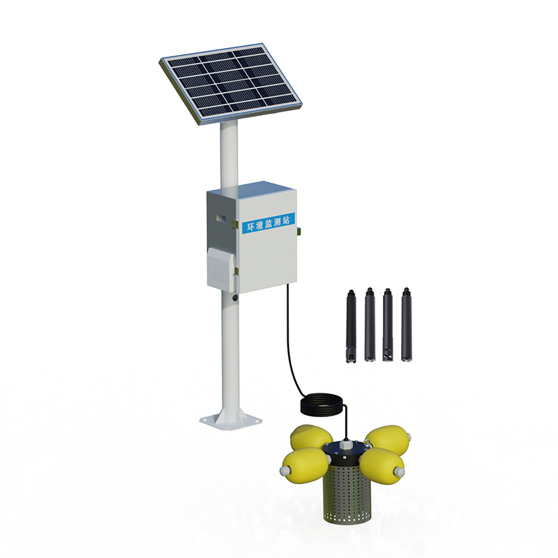
In docks and harbors, a Water Level Monitoring System with water - level sensors plays a vital role. It is a solid shield for the safety of ships and personnel.During maritime activities, weather and water level are unpredictable, like beasts lurking in the dark, threatening the safety of ships and...


 Skype
Skype
 whatsapp
 mail
mail